Grand Canyon
Click on any image below to see a larger version, including a descriptive caption.
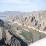
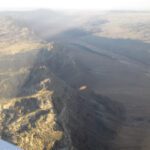
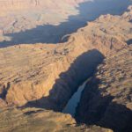
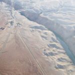
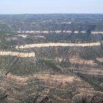
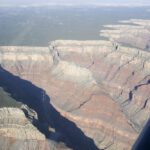
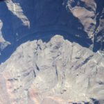
Little Colorado River Gorge (east of Grand Canyon).1
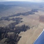
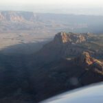
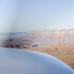
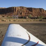
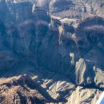
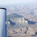
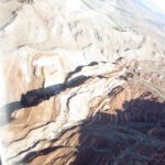
South rib of Grand Canyon, approaching to land at GCN
Grand Canyon Airport (GCN)
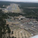
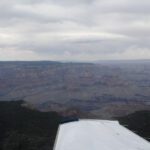
Final Approach into GCN
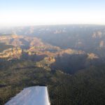
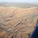
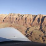
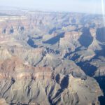
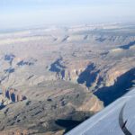
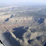
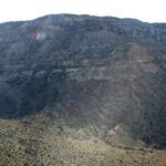
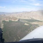
South rim of GC, heading north into the Zuni Corridor
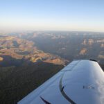
South rim of GC, heading north into the Zuni Corridor
South rim of GC, heading north into the Zuni Corridor
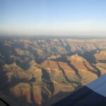
South rim of GC, heading north into the Zuni Corridor
South rim of GC, heading north into the Zuni Corridor
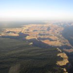
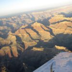
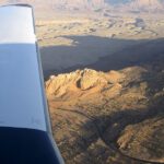
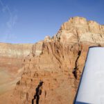
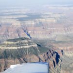
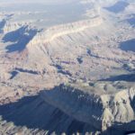
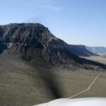
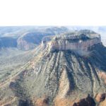
Temple Butte, inside the Zuni Corridor and Supai Sector (E end of GC)
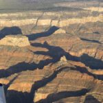
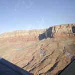
Exiting the Zuni Corridor
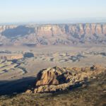
Entering the Marble Canyon Sector
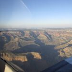
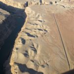
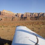
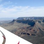
East rim of the Marble Canyon Sector (northbound)
East rim of the Marble Canyon Sector (northbound)
Over East rim of the Marble Canyon Sector (northbound, looking West)
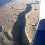
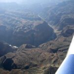
Colorado Rive gorge, inside the Marble Canyon Sector (northbound, looking West)
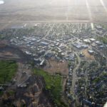
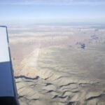
Page, AZ
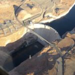
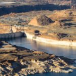
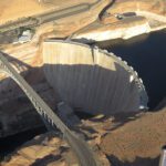
Glen Canyon Dam
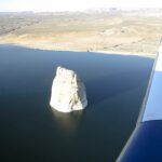
Chimney rock in west end of Lake Powell
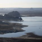
West end of Lake Powell, looking east.
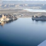
Western Lake Powell, looking NE
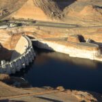
Backside of Glen Canyon Dam and its powerstation
Lake Powell’s Glen Canyon Dam and visitor’s center
Lake Powell’s Glen Canyon Dam and visitor’s center
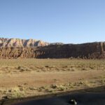
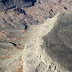
Western rim of the Marble Canyon Sector (NE GC)
Western rim of the Marble Canyon Sector (NE GC)
Western rim of the Marble Canyon Sector (NE GC)
Circling down into Marble Canyon Airport
Circling down into Marble Canyon Airport
Circling down into Marble Canyon Airport
Circling down into Marble Canyon Airport
Circling down into Marble Canyon Airport
Circling down into Marble Canyon Airport
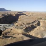
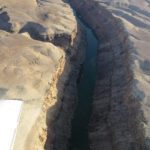
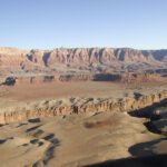
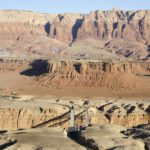
Nanajo Bridges over the Colorado River, Marble Canyon – downwind at L41
Final Rwy 21 @ L41 (looking west)
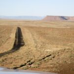
Final Rwy 21 @ L41
Landing rollout, Rwy 21 @ L41 (looking west)
Backtaxi at L41 – looking NW
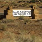
Strange given the isolated location at Marble Canyon Airport
Parking apron at L41 (WiFi sing off wingtip) looking NW
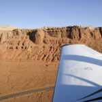
Climbing out of Marble Canyon Airport, west wall
Climbing out of Marble Canyon Airport, west wall
Climbing out of Marble Canyon Airport, west wall
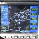
The Flightplan – Approaching Dragon Corridor, southbound
Dragon Corridor, Southbound
Dragon Corridor, Southbound
Dragon Corridor, Southbound
Exiting Dragon Corridor, Southbound
Exiting Dragon Corridor, Southbound
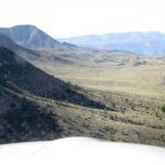
South Supai Sector (NW bound)
Entering Fossil Canyon Corridor (NE bound)
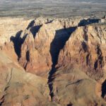
Bedrock Canyon (inside Fossil Canyon Corridor)
Bedrock Canyon (inside Fossil Canyon Corridor)
Exiting Fossil Canyon Corridor (looking SW)
Exiting Fossil Canyon Corridor (looking SW)
Kanab Creek Wilderness Area
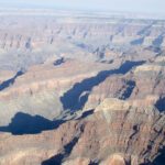
Over N rim, looking SW
Rim road at N rim, near Kanab Creek
Kanab Creek Wilderness Area
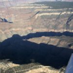
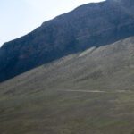
East wall of Tuweep Airport valley
East wall of Tuweep Airport valley (looking south)
Tuweep Airport (L50) and west wall of valley (looking SW)
Climbing out of Tuweep Airport valley (NW bound)
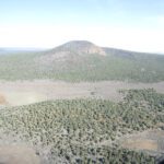
Mt. Trumbull (looking NW)
Final Rwy 16 @ Bar Ten Airport (1Z1)
Mt. Logan Wilderness Area (looking NE)
Entering the Parashant Wash area (looking SW)
Descending into Pearce Canyon
Pearce Canyon, Lake Mead area