Photo Gallery
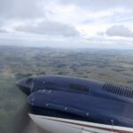
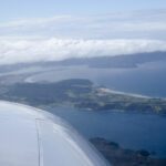
New Zealand’s North Island (Cessna 421)
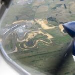
Racetrack south of Auckland, NZ
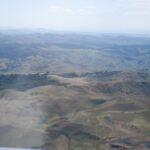
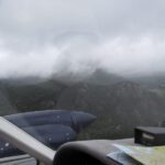
Over Meremere, NZ (looking SW) towards W coast of, N of Mt. Karioi
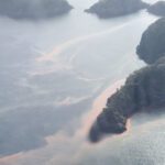
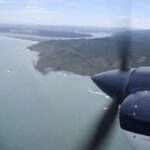
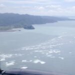
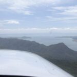
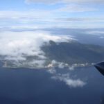
W coast of Northern NZ, between Raglan & Port Waikato
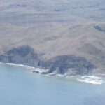
W coast of Northern NZ, between Raglan & Port Waikato
W coast of Northern NZ, between Raglan & Port Waikato
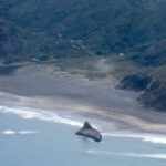
263.W coast of Northern NZ, between Raglan & Port Waikato
W coast of Northern NZ, between Raglan & Port Waikato
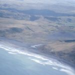
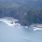
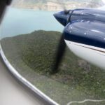
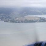
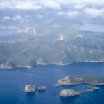
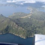
S end of Port Waikato, where the Waikato River empties into the Tasman Sea
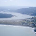
S end of Port Waikato, where the Waikato River empties into the Tasman Sea
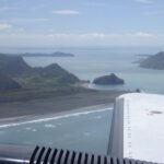
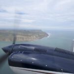
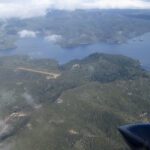
S shore of Whatipu Beach and Manukau Harbour inlet, SW side of Auckland, looking NE
Whatipu Beach (W side of Aucklack, NZ), looking SE
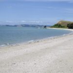
.Beach near Karekare, W of Auckland, looking NE
Beach near Karekare, W of Auckland, looking NE
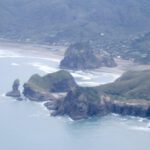
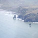
Taitomo Island, Lion Rock & Piha Beach, NZ (W of Auckland, looking NE)
Cove N or Piha Beach, looking NE (W of Auckland)
Whatipu and Ninepin Rock (heading SE into Manukau Harbour and Auckland)
Ninepin Rock, looking S towards Manukau Harbour inlet.
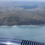
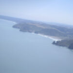
Manukau Harbour inlet and South Head (looking S), heading SE into Auckland
Laingholm (SW suburb of Auckland), looking NE
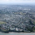
NWern suburbs of Auckland (looking N)
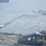
Westhaven Marina, N side of Auckland City Center (looking E)
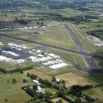
Ardmore Aerodrome, Auckland, looking W
Maraetai Beach, looking NE toward Waiheke & Ponui Islands
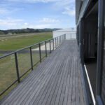
The observation deck of the PlaneSmart Hangar, Ardmore Airport, Auckland, NZ
Omaha Bay, Beach & Flats & Takatu Point
Takatu Point, S end of Omaha Bay
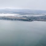
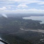
Whangarei Airport (NZWR), looking NW across Whanagarei Harbour
R Base 06, Whangarei Airport (NZWR), looking NE across Whanagarei Harbour
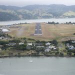
Final 06, Whangarei Airport (NZWR), looking NE across Whanagarei Harbour
307.Whangarei Heads, looking SE
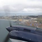
Marsden Point Oil Refinery (NZRC), loking S
Whangarei Heads, looking N
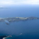
Little Barrier Island & Mt. Hauturu (2369′), looking E (protected nature preserve)
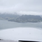
Kaikoura Island & Motu Kaikoura Island Aerodrome (NZKD), looking NE
Kaikoura Island & Motu Kaikoura Island Aerodrome (NZKD), looking SE
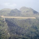
Kaikoura Island & Motu Kaikoura Island Aerodrome (NZKD), looking NW
Kaikoura Island & Motu Kaikoura Island Aerodrome (NZKD), looking N